The Burrens – a limestone karst landscape
Here’s a selection of photos from the Burrens of County Clare, Ireland. Carboniferous limestones, in a glacio-karst landscape: karst structures, landscapes, vegetation, and fossils, from inland and shoreline exposures.
The limestones formed about 350 million years ago, part of the geological period known as the Carboniferous. Ireland back then was closer to the tropics; seas were warm and teeming with life. This was a time of relative stability, following on the heels of momentous events caused by continental collisions and mountain building – the Caledonian event. The present landscape was moulded more recently by a couple of glaciations, the last one ending about 10,000 years ago. During the Last Glacial Maximum, about 22,000 years ago (i.e the time of maximum ice accumulation), Ireland was covered by the Celtic Ice sheet (more or less a continuation of the Scandinavian Ice Sheet). Glacial ice plucked and scoured the hard limestone, leaving rounded hills and in places a veneer of ice-carried debris. It is a glacio-karst landscape, and it is the latter to which most visitors are drawn.
There is an article on the Burrens here.
The Atlas, as are all blogs, is a publication. If you use the images, please acknowledge their source (it is the polite, and professional thing to do).
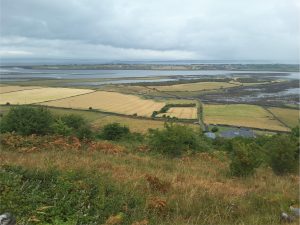
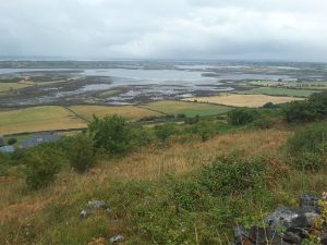
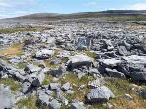
New Quay and Abott Hill
Two views to the north of the estuary and Galway Bay from Abott Hill (between New Quay and Kinvara). The hills and alluvium underlying the coastal strip are underlain by Carboniferous limestone typical of the Burrens.
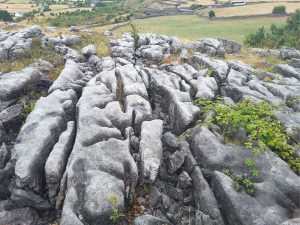
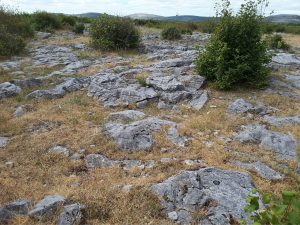
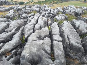
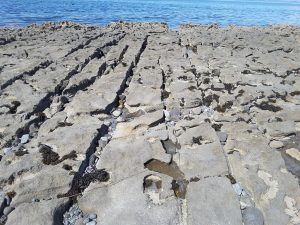
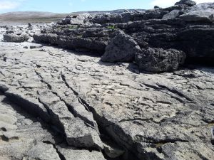
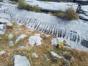
Grykes (the solution-enlarged fractures) and clints (the upstanding blocks) are a typical response to slow dissolution of limestone by slightly acidic rain and snow melt (rain water contains dissolve carbon dioxide in the form of the weak carbonic acid). Here’s four examples from Abott Hill.
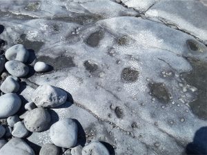
Flaggy Shore (near New Quay)
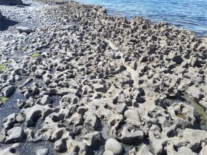
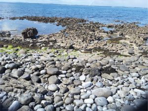
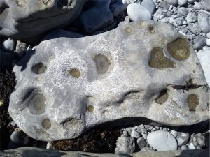
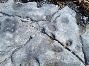
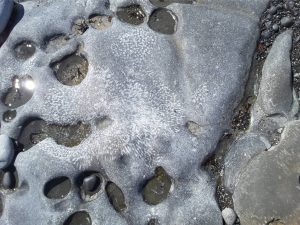
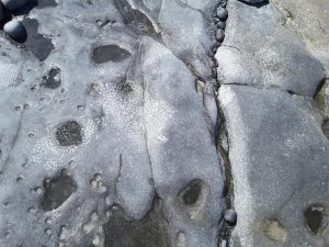
The following five images show colonial Visean corals, best seen on semi-polished surfaces along the Shore. These views are oblique cross-sections of coral columns. some dissolution pits contain small pebbles that contribute to the limestone abrasion.
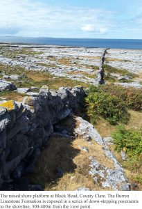
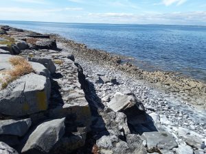
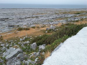
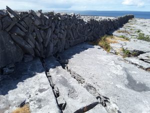
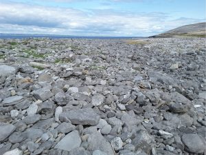
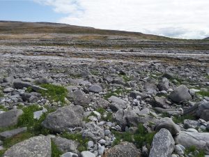
Black Head
Three images showing the raised shore platform at Black Head (below the road) that consists of several benches elevated during post-glacial rebound.
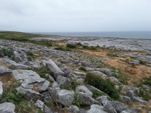
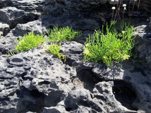
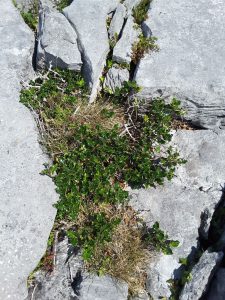
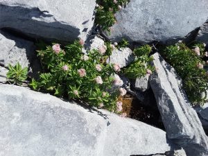
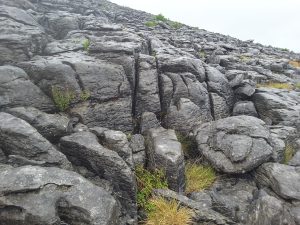
Clints and grykes, typical karst structures, are well developed all over the Black Head platform, controlled by dominant fracture trends. They provide succor and shelter to a variety of small shrubs and wild flowers (next four images).
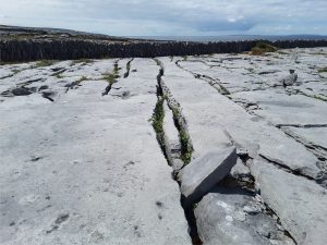
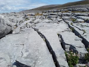
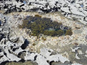
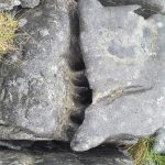
Typical vegetation eking out a living in the grykes. Succulents (left) are most common close to the shore (three images below).