Geological-logo
Geological-logo

Marine slope, shelfbreak gullies, slope channels, submarine canyons

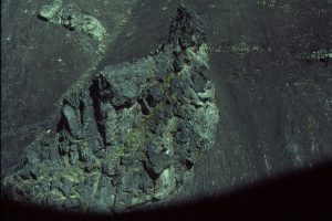
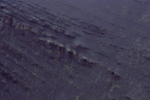
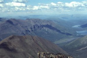
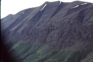
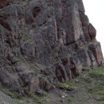
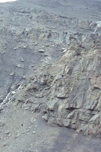
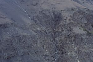
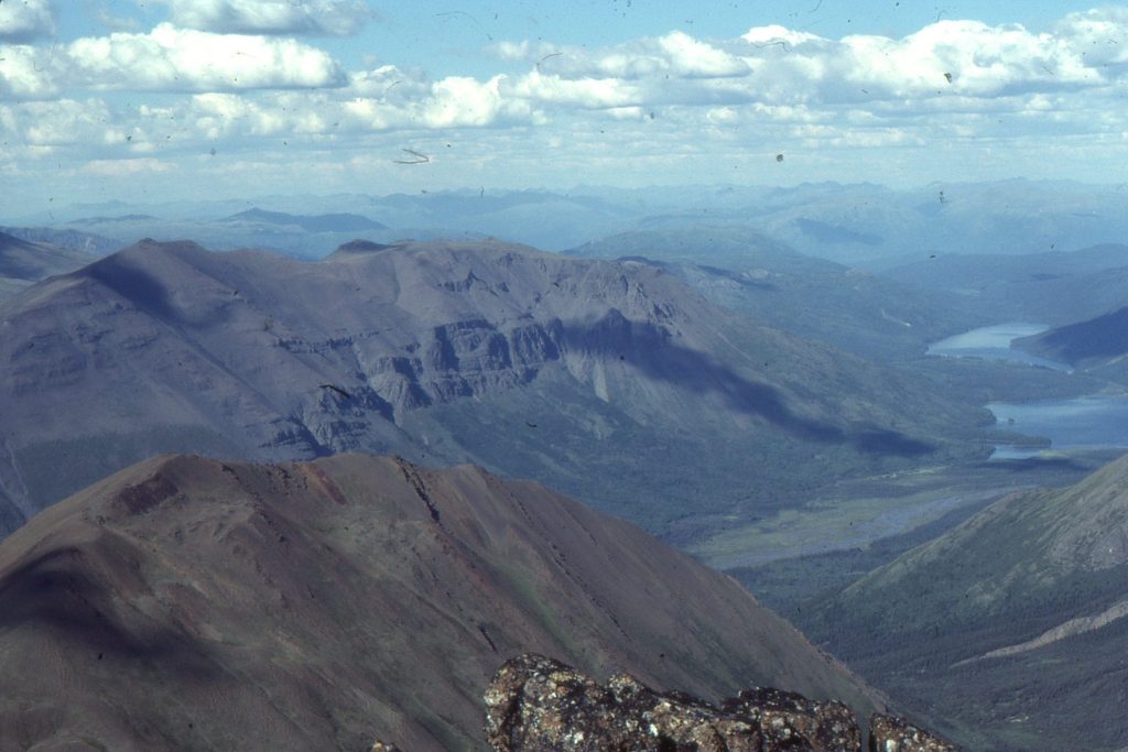
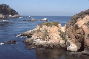
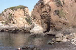
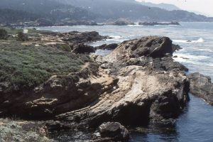
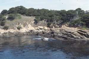
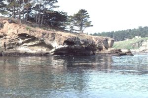
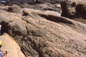
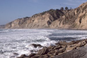
Marine slopes are bona fide geological settings in themselves, but from a geotectonic perspective they are the region where continental crust is transitional to oceanic crust, and where sediment bypasses the shelf as it heads towards the deep ocean floor – typically as submarine fans.  Slopes, as their name suggests, have significantly greater dip than an adjacent shelf; the break between the shelf and slope is  defined by this break in sea floor gradient.  Slopes frequently are cut by gullies and submarine canyons; the gullies tend to be localized across the shelf-slope break, whereas canyons extend across the shelf (sometimes coming within a few 100m of the shore), to the full depth of the slope.  Gullies and canyons focus sediment transfer to the ocean deep. The Black’s Beach and Point Lobos canyons were visited on an AAPG trip with Tor Nilsen; the Bowser Basin examples I worked on in the late 1980s – early 90s.

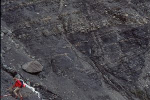
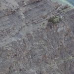
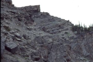
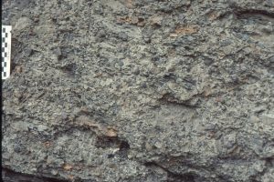
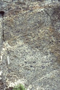
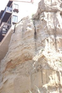
Pt Lobos and Black’s Beach, California

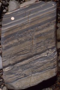
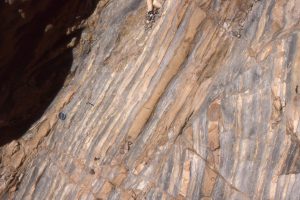
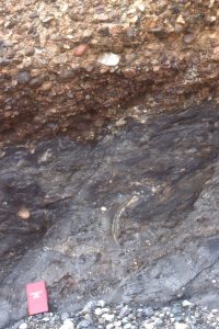
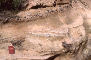
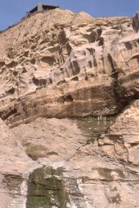
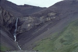
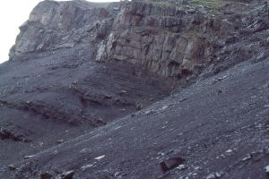
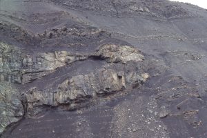
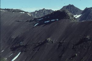
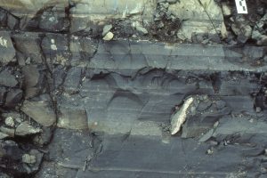
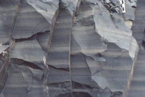
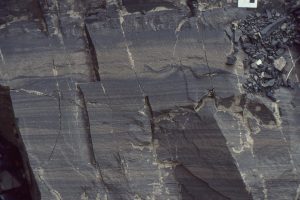
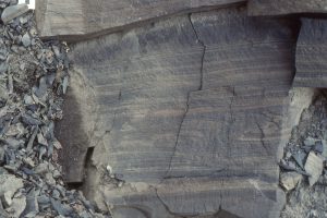
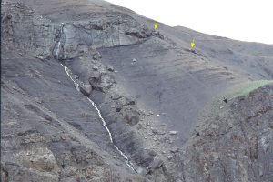
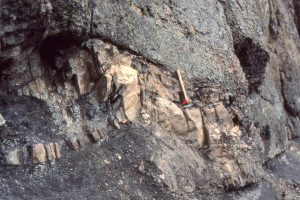
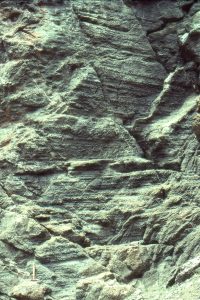
Bowser Lake Group, Bowser Basin, northern British Columbia

Leave a Comment

Your email address will not be published. Required fields are marked *

Archives
Categories
dip and strike compass
Measuring dip and strike
sandstone classification header
Classification of sandstones
Calcite cemented subarkose, Proterozoic Altyn Fm. southern Alberta
Sandstones in thin section
poles to bedding great circles
Stereographic projection – poles to planes
froude-reynolds-antidunes-header-768x439-1
Fluid flow: Froude and Reynolds numbers
Stokes Law for particle settling in a schematic context of other fluid flow functions
Fluid flow: Stokes Law and particle settling
sedimentary-basins-distribution-1-768x711
Classification of sedimentary basins
Model are representational descriptions are written in different languages - diagrammatic, descriptive, mathematical, and conceptual. They commonly contain variables and dimensionless quantities that permit quantitative analysis of the physical systems the models represent.
Geological models
Recent Posts
Mary Mantell portrait
Mary Ann Mantell (1795 – 1869)
Soft sediment, and possibly weak-rock deformed turbidites at an iconic outcrop in Lower Miocene Waitemata Basin, Auckland. Deformation was dominated by hydroplastic (folding) but some fold limbs were detached or pulled apart by extension and brittle failure (P). Liquefaction also occurred in some fold hinges – fluid pressures were elevated during folding. The unit is underlain by a relatively non-deformed bed (mostly hidden in this view). The overlying sandy turbidite (T), also non-deformed, infilled hollows and draped detached sand beds that protruded the surface (red arrows).
Rheology of soft sediment deformation
SSD Fairweather seismite
Soft sediment deformation
Cam Potikohua lst thin section
Atlas of cool-water carbonate petrology
mary lyell portrait
Mary Lyell (1808-1873)
A classic topographic expression of resistant regressive sandstone cycles, each culminating in a maximum flooding surface in parasequences from the Jurassic Bowser Basin, northern British Columbia. The MFS in the foreground occurs just above the prominent bench where it is overlain by coarsening upward shale-sandstone of the succeeding regression. At least four such packages are present in this view (arrows indicate approximate MFS positions). Maximum regressive surfaces are also present below the MFS, as shown in the previous image. In each cycle, the transgressive package accounts for 10% or less of the total cycle thickness.
Atlas of sequence stratigraphy
Strand Fi glacier retreat-moraine
Glaciofluvial - periglacial deposits
Inge Lehman 1932
Inge Lehmann (1888 –1993)
nasa mackenzie_oli_2017200
Atlas of delta deposits
FD Strand Fi 83
Atlas of fan deltas
Scroll to Top