My early geological education was very much New Zealand centered; the gamut of sedimentary, igneous and metamorphic rocks (there are no Precambrian rocks in New Zealand), in the context of a landmass (and attached submerged bits) still rent by active faults and erupting volcanoes. The timing was fortuitous. We were taught at the cusp of the ‘new tectonics’, sea-floor spreading, and the morphing of continental drift into plate tectonics. The fixists were a disappearing breed; now everything was on the move, attached in some way to one tectonic plate or another, rifted, drifted, and eventually subducted. Now, the rock formations, faults (particularly the Alpine Fault), and the volcanoes, were all connected in one, all-encompassing global, plate tectonic system. Geologically active New Zealand had a place in this grand scheme.
Admittedly, not all our professors found it easy to teach these revolutionary ideas. We would be exhorted to go and read the latest journal papers, and come back with questions – I guess this gave the teachers time to read the articles themselves. But it was an exciting time, reading the claims and counterclaims. It really was a (Thomas Kuhn) paradigm shift.
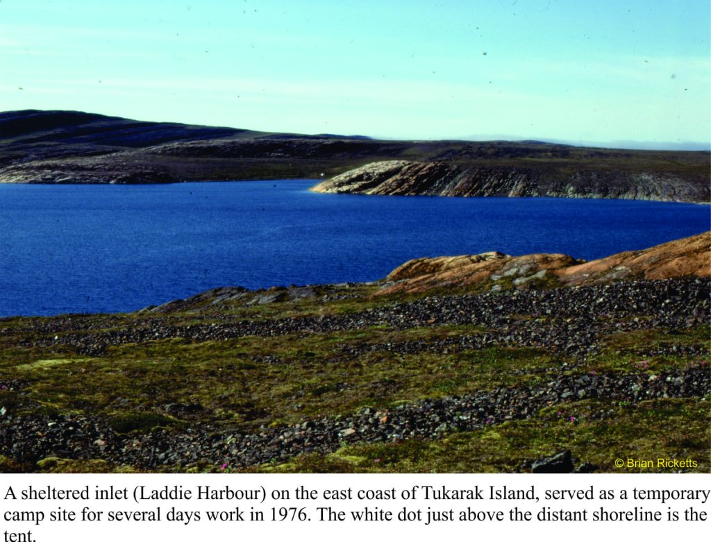
Landing on the shores of Belcher Islands (Hudson Bay) was also something of a mind warp; from a country that straddles a plate boundary, has a volcanic rift zone in central North Island, and faces a subduction zone within a stone’s throw of the east coast, to a part of the Canadian Shield where not much has happened over the last two billion years. Perhaps that’s a bit of an exaggeration, but this prolonged period of stasis had its advantages. The rocks, despite being about 2000 million years old, are loaded with beautifully preserved structures and fossils. They were not cooked by metamorphism during the time they spent being buried, nor fractured beyond recognition by tectonic forces. Basically, everything was intact. Stunning.
For someone interested in deciphering ancient sedimentary environments, being parachuted into the Belchers and being told to take the rocks apart, layer by layer, sequence by sequence, was initially a tad scary; an emotional response that quickly dissipated once the measuring, observation, and interpretations had begun. On finishing the work on one set of exposures, we couldn’t wait to get to the next, and the next.
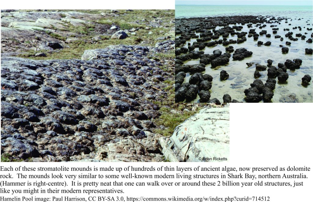
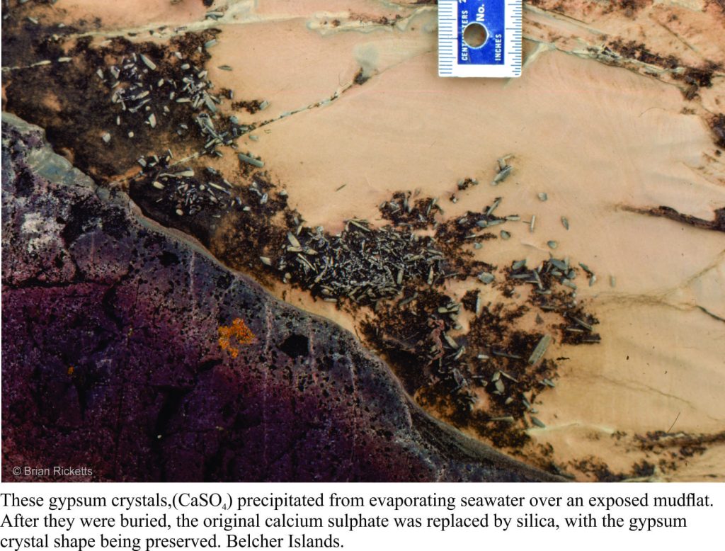
If you were to stand all the Belcher strata in a single pile, it would be almost 9 km thick. But this pile was subsequently tipped on its side. Over the eons, the rocks were eroded by rivers and scraped by ice, fortuitous levellers that provided windows into each layer. Geologists are enticed to enter these portals, at least in their mind’s eye; the rewards are huge. We can envisage times when there were broad platforms of limestone (now all converted to the mineral dolomite), that harboured a massive biomass of primitive algae, stromatolites of all shapes and sizes; layers as thin as a fingernail, and reefs 10s of metres high. The platforms were covered by warm, seas that shoaled into tidal flats and (deserted) beaches. Some areas infrequently inundated by high tides, became desiccated; there are remnants of minerals like gypsum and halite (common salt) that attest to salty seas. Walking over rocks like these kindles the imagination; a beach stroll, waves rolling in like they have done for billions of years, or parched landscapes exposed to the full effects of sunlight uninhibited by oxygen and the UV dampening effects of ozone (the incidence of UV light must have been intense). The experience is humbling.
However, idylls have a tendency to dissipate in the fog of time or, as was the case here, a smothering by erupting ash columns and lava flows. Now we get to walk across the tops of really ancient lava flows, around piles of pillow lavas, or along catastrophic pyroclastic flows of ash and pumice. The earlier tropical paradise had been obliterated, but even in this volcanic brutality there is wonder.
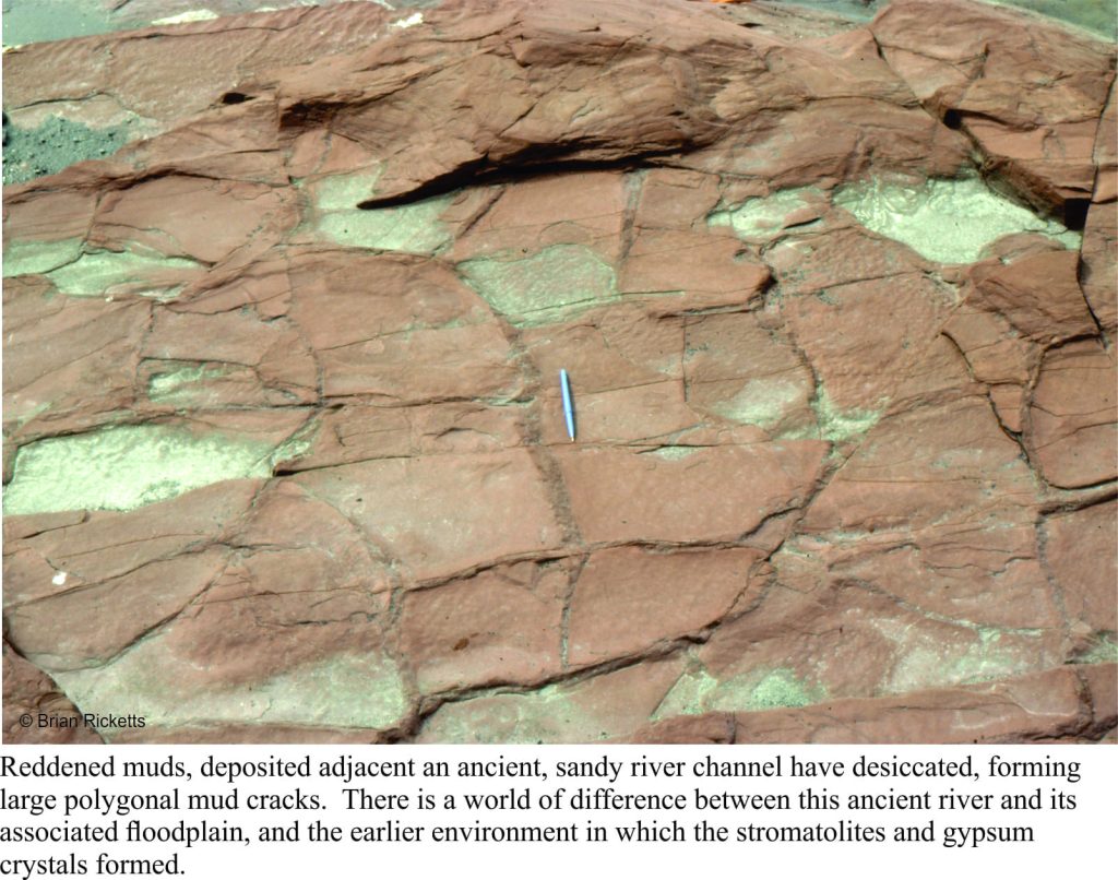
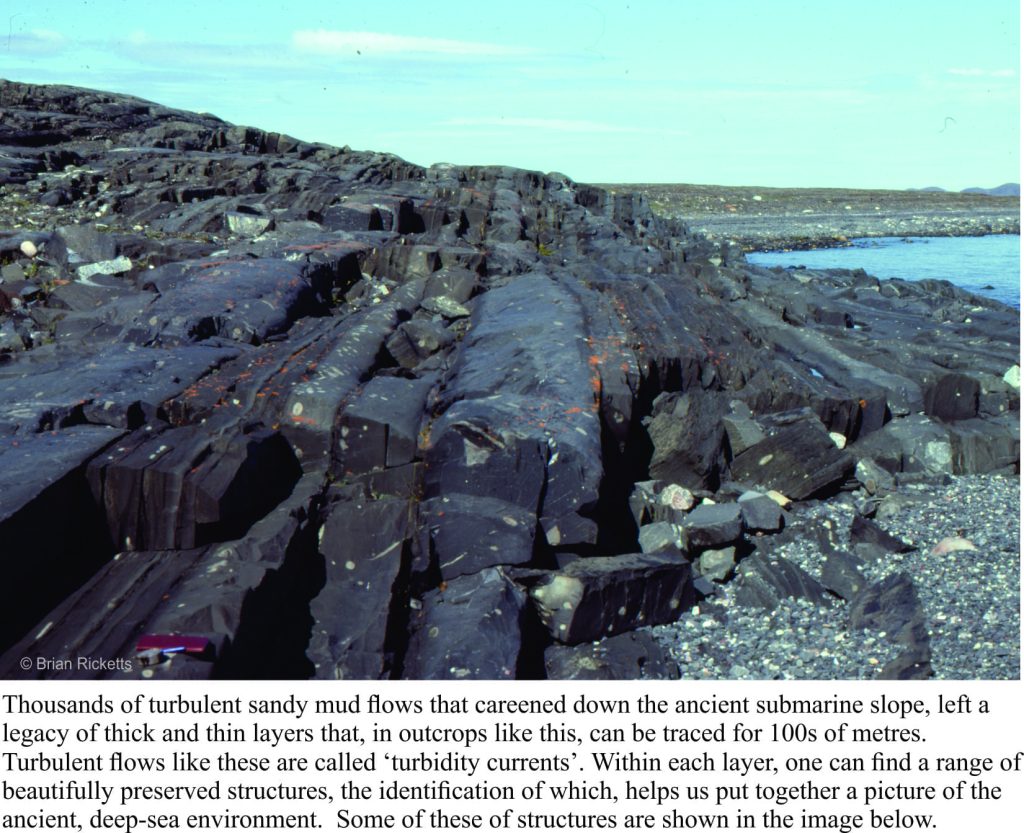
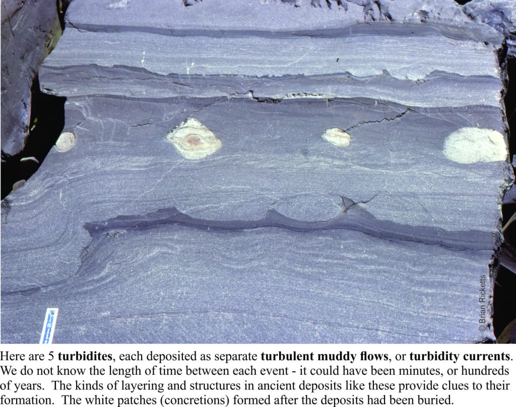
Other strata tell of deep seas fed by turbulent mud flows cascading down an ancient submarine slope, and of sandy rivers turned red by iron oxidized by the gradually increasing levels of oxygen in the ancient atmosphere (deposits like this are commonly referred to as red beds). In every layer, every rock we looked at, there were mysteries waiting to be unravelled. A geologist cannot hope to solve all such questions, but finding a solution to even one of them is incredibly satisfying.
I spent a total of 5 months in the field during the 1976-77 summers. This was not the kind of location where, if I’d forgotten to do something, I could whip back for a couple of days to sort things out. Several of my student colleagues were doing similar kinds of research in remote parts of the country – field seasons were long. Once you had arrived, you were there for the duration. And despite the sense of excitement and discovery, it was always good to get back home.
