Have you ever looked at some locale on a map or photograph and thought “that looks like an intriguing place to work”, only to find, sometime later that you are smack in the middle of that same spot? Time-warp? Some god’s lap?
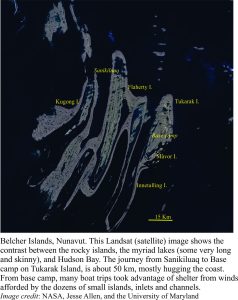
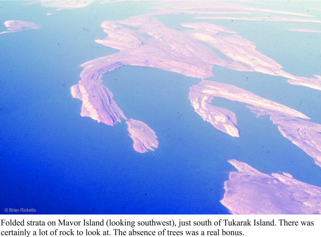
I was preparing to travel to Canada. The plan was to do a PhD, and because I had not long completed a Masters thesis on geologically very young sedimentary deposits, had entertained the idea that research on very old rocks would add a kind of symmetry to my geological outlook – from one end of the geological time-scale to the other. In preparation, I borrowed The Geology of Canada, a weighty tome, and homed in on the Precambrian system (basically everything older than 540 million years). What caught my attention were some squiggly-shaped islands about 150km off the southeast coast of Hudson Bay; the Belcher Islands. Their shape belied some interesting geological structures, and the strata a mix of sedimentary and volcanic rocks about 2 billion years old. What a neat place to work, although I envisioned the islands to be treed.
I arrived in Ottawa (early January, 1976) to minus 25oC and snow; I had never seen so much snow. I thought it quite beautiful, which elicited wry comments from the Ottawans I was meeting who were sick of shovelling driveways and digging vehicles out of snow drifts. Destination – Carleton University. My supervisor was to be Alan Donaldson, well-known in Precambrian geology circles. Following the introductions, he announced that my project, unless I had some objection, was to focus on the Belcher Islands. LOL. I was to spend 5 months there in total over the summers of 1976-77. The social environment, the weather, and the geology were remarkable.
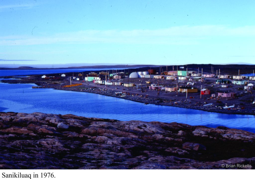
Getting to the islands was a milk run: a drive to Montreal airport, a flight to Moosonee near the southern shores of James Bay (northern Ontario), a very noisy DC3 leg to Umiujaq (Quebec) where we picked up field equipment (kindly loaned to us by the Geological Survey of Canada), then Twin Otter across the 150 km to Sanikiluaq, the sole village on Belcher Islands. We were able to stay in a small house owned by the Hudson’s Bay Company for the two days needed to sort gear, buy food, and make sure the two inflatable Zodiacs and outboards worked. My assistants (John McEwan in 1976, Mike Ware in 1877) and I always used two boats as a safety measure (and for visitors).
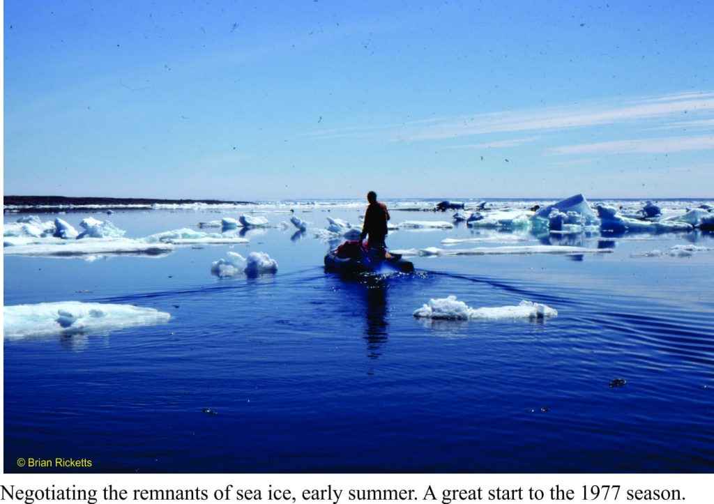
The seas around the islands are mostly ice-free during the summer months, but the water is still only a few degrees above freezing, and the air close to the water cold. Even in the summer, we had to bundle up with wet-gear, fleeces, and life jackets (I was told the life jackets were necessary for insurance purposes – so they could retrieve the bodies). The islands and intervening channels are also elongated north, so that wave set-up could change drastically any time there was a wind shift. We were caught out a few times with unfavourable seas, but there was always somewhere to shelter.
Belcher Islands are mostly held together by a thick volcanic unit that creates more or less linear coastlines. The strata were folded, like a series of waves, into simple anticlines and synclines, such that the package of sedimentary rocks is exposed in the anticlines, while the synclines are drowned by major channels and inlets. The terrain is subdued with low relief – the islands were scraped clean by the Laurentide Ice Sheet during the Last Glaciation.
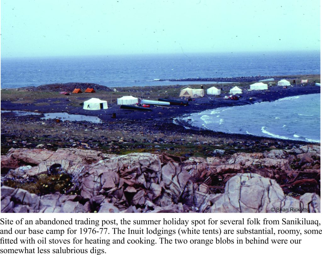
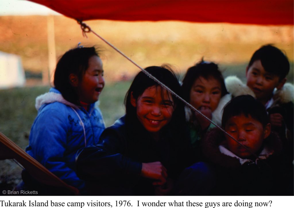
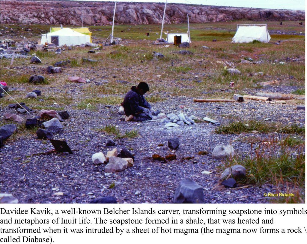
Our base camp was to be in a small, relatively sheltered inlet along the western shore of Tukurak Island (one of the largest and easternmost island). It was a 3-4 hour journey, depending on weather. This is the site of an abandoned Hudson’s Bay post. It was also the favoured summer holiday spot for local Inuit, primarily because it is close to their source of soapstone. Belcher Island soapstone has an enviable reputation amongst northern communities, because of its uniform, deep green colour, and general lack of fractures that would render carving difficult. Whenever we were in base camp, we would watch the elders carving, and teaching their younger folk the same skills. They would also bring us bannock and Arctic Char. And there was never a shortage of Inuit kids around, checking in, telling stories, or simply hanging out. We would spend 4-5 days away from base camp, returning to stock up and cache samples. Time in base camp was always a delight.
Belcher Islands sit well below the Arctic Circle at 56oN (latitude), and yet the landscape is typically Arctic. The northern Canada tree-line is located south of Hudson Bay, such that the Islands have a typical Arctic flora (especially wild flowers), and no trees – so much for my earlier, wistful image of the place.
The weather alternated between gorgeous, with light winds and clear skies, and abysmal. On more than one occasion we returned to camp from a day’s work to find tents down and sleeping bags soaked. High winds also prevented longer excursions with the boats, unless we were riding through sheltered channels and inlets. With the boats, there was always one eye kept on the weather.
During the first couple of weeks in 1976, Bill Morris (Geological Survey of Canada) had joined us to sample rocks for geophysical measurements (looking for ancient magnetic poles). The day he was to leave base camp (and fly out of Sanikiluaq) was particularly inclement. He insisted on attempting the trip, but instead of using our inflatable boats, I decided to rent one of the larger, sturdier, Inuit canoes with twin outboard motors (I was the only one with boating experience). We ventured out of the sheltered inlet, into the maelstrom – at least that’s what it looked like from the perspective of our small craft. I doubt we got any further than 50m from the inlet entrance; a lull in the waves, a quick decision to about-face, a beeline back to calmer waters, and the colour returned to the faces of my two passengers.
“Guess I’m going to miss my flight”. We all new he probably would have missed it, even if we had continued. Back to base camp to drain what was left of a bottle of scotch, and cogitate on an earlier field season on a warm New Zealand Pacific coast.
This is the first blog on my Belcher Islands episode
