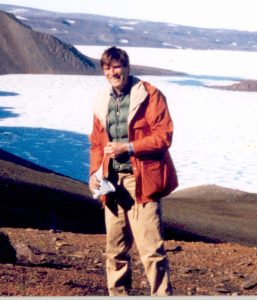
Ashton spent almost his entire career working in the Canadian Arctic. His initial adventures involved teasing apart facies and stratigraphy of Devonian reefs, and the clastic wedge that records an outpouring of sediment during the Ellesmerian Orogeny. Following a brief stint in the oil patch, he migrated, like the trajectory of an advancing shoreline, to the Geological Survey of Canada where he honed his sequence stratigraphic skills on Sverdrup Basin, a long-lived (Late Carboniferous – Eocene) depocentre encompassing much of the eastern and central Arctic. Ashton was one of the main instigators of the Transgression-Regression (T-R) sequence stratigraphic model as a viable alternative (and according to him more objective) to the standard Exxon variety and its modifications. It was Ashton who suggested I work on the latest Cretaceous – Paleogene portion of Sverdrup Basin, that gave me the opportunity to work on Ellesmere and Axel Heiberg islands for several years. Thanks mate!
Birth: August 13, 1946
Education
1968 BSc (Hon) University of Manitoba
1970 MSc University of Calgary
Thesis: A late Devonian Reef Tract on Northeastern Banks Island, NWT
1976 PhD University of Calgary
Thesis: The Middle-Upper Devonian Clastic Wedge of the Franklinian Geosyncline
Employment
1970‑1972 Mobil Oil Canada, Exploration Geologist, Mackenzie Delta
1976‑1977 BP Canada, Exploration Geologist, Arctic Archipelago
1977‑1989 Geological Survey of Canada, Arctic Islands Research Scientist
1989‑1999 Geological Survey of Canada, Subdivision Chief
1999-2014 Geological Survey of Canada, Arctic Islands Research Scientist
2014-present Retired
Publications: 110 papers in refereed journals, symposium volumes and GSC publications, 6 GSC maps; Co-editor of 5 symposium volumes


