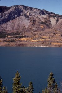
Syntectonic deposition
This category is a bit different to the other Atlas collections. It does not refer to a specific environmental state, like fluvial or submarine fan, but to erosion, deposition, and deformation associated with active tectonics. This includes uplift, folding, faulting, the erosion of landscapes created by each of these, and subsequent deposition. Syntectonic deposits may be constrained in time to specific events (e.g. faulting), or to periods of mountain building, or other modes of deformation along plate boundaries. Classic examples include the Molasse of central Europe, and basins outboard of the Cordilleran fold and thrust belt in western Canada.
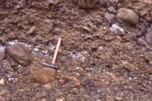
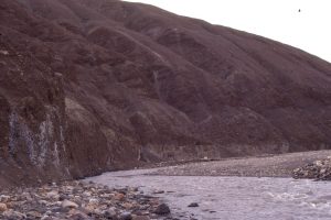
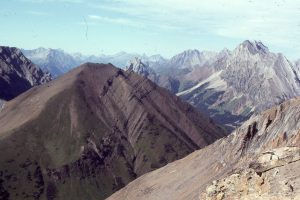
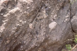
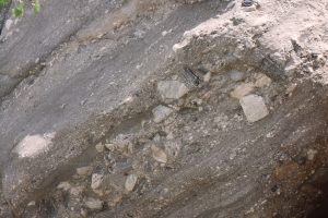
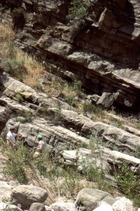
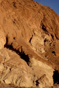
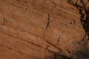
Most of the images here are inferred to have been associated with specific tectonic events. Conglomerate facies are common in fluvial and alluvial settings in close proximity to active faults and uplifts (Eurekan Orogeny in the Canadian Arctic, Alberta Foreland Basin, evolving transform faults in Ridge Basin, and active extension – strike slip faulting in Death Valley), to deep marine turbidites that were also influenced by active (Waitemata) basin tectonics. There’s also a few shots of coastal exposure of an active accretionary prism on New Zealand’s east coast.
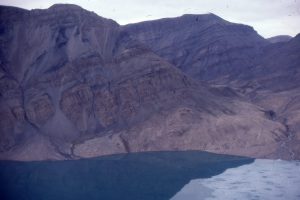
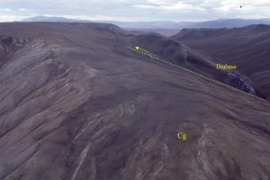
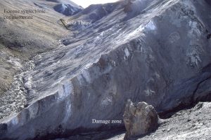
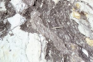
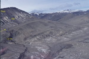
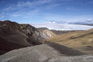
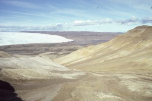
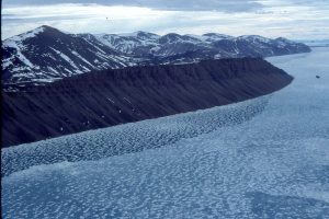
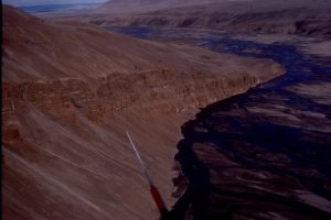
Eurekan orogeny, Canadian Arctic
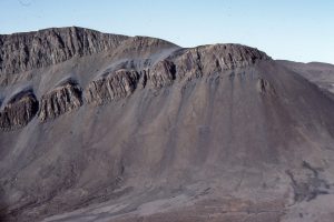
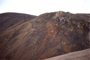
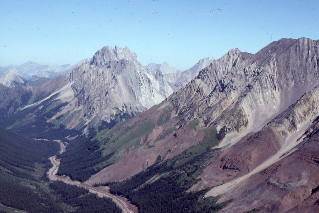
Alberta foreland basin
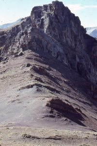
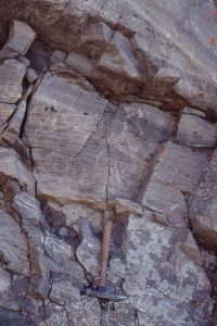
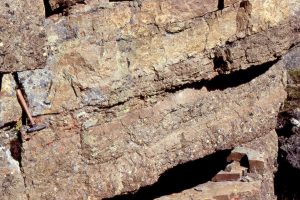
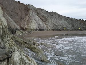
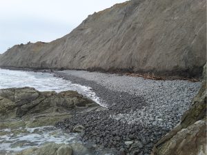
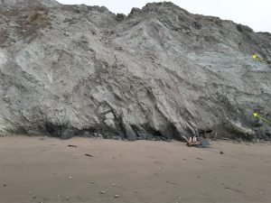
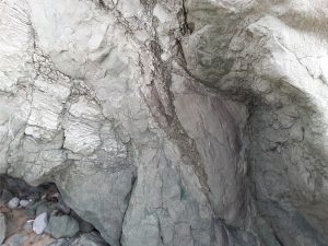
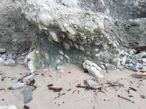
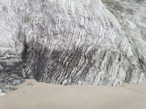
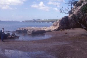
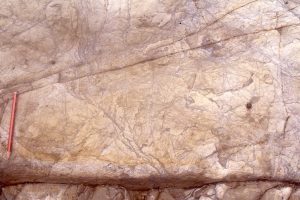
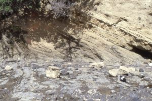
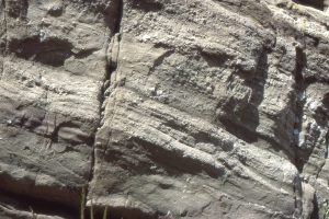
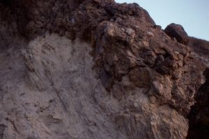
Waitemata Basin, Auckland
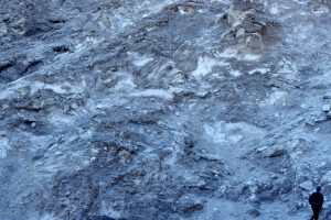
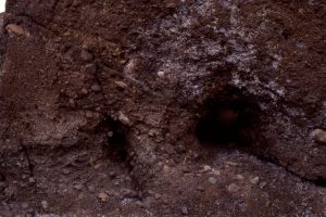
The northern segment of Lower Miocene Waitemata Basin (Auckland) developed atop a moving slab of obducted lithosphere – the Northland Allochthon. The Allochthon, now fragmented, consists of ophiolite (including possible seamounts), marls, terrigenous clastics and limestones. Allochthon rocks, like those shown here (Algies Bay) commonly are intensely deformed. Movement of the Allochthon is implicated in some of the syn-sedimentary – weak rock deformation in Waitemata Basin itself.
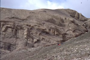
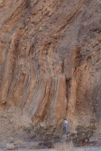
Ridge Basin, California
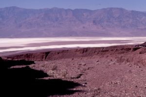
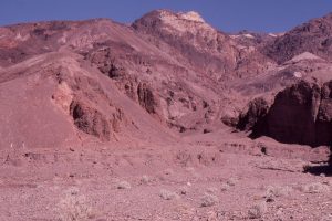
Death Valley
Active accretionary prism, Waimarama, NZ