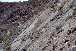
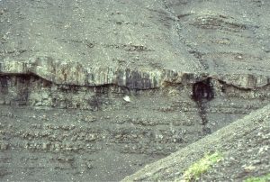
The term ‘shelf’ is used here loosely – it covers a range of submarine settings, mostly shallower than about 300m, from the upper slope to shoreline, the shoreface, fairweather and storm wave-base. There is some overlap with the ‘Paralic’ category, but the context of the shallowest examples (like beach, shallow subtidal) is in their relationship to their deeper counterparts. The separation of the ‘Shelf’ and ‘Paralic’ categories is a bit artificial, and one of convenience.
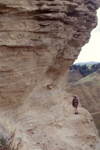
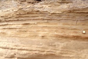
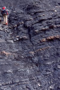
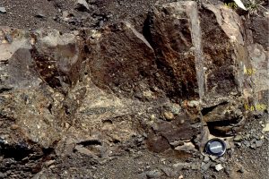
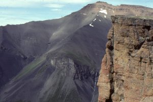
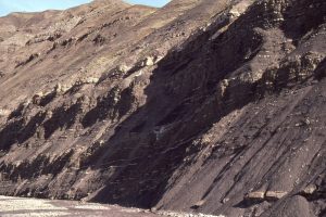
Bowser Basin, northern British Columbia
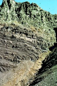
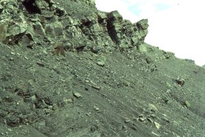
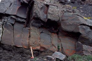
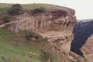
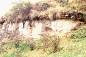
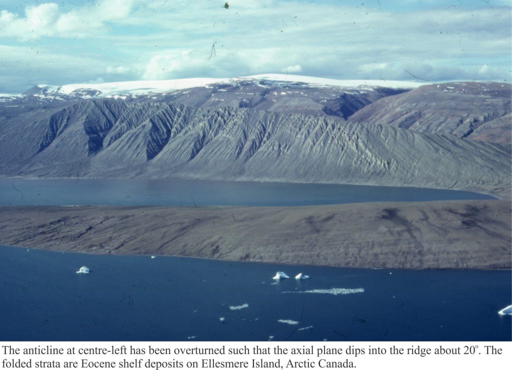
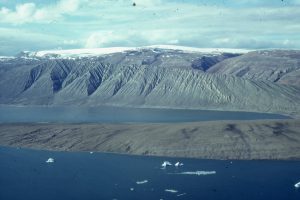
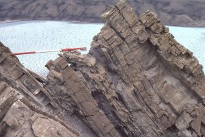
Canadian Arctic
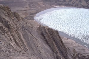
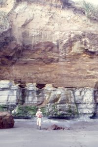
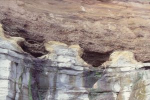
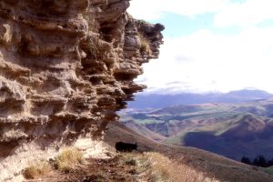
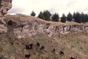
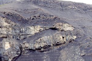
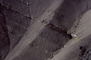
New Zealand