Continually under construction!
Scroll down to access image categories. There are about 1000 images so far; more to come.
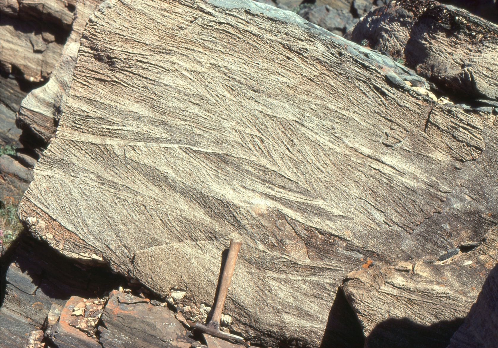
Over the years I have collected 1000s of geological images: Black and white prints from negatives (does anyone remember these?), that morphed to 35mm colour slides, and thence to various digital formats. I have displayed some of the better images here – better in the sense of what they convey scientifically, and their aesthetic appeal. They are organised according to broad environmental categories, and each category includes modern analogues and ancient examples. Each has a brief explanation – more expansive explanations can be found in the linked articles listed below.
The Atlas is a living document – I will add (or delete) images as they come to hand.
Feel free to use these images in your school-university projects, blogs, or whatever takes your fancy, BUT they are NOT to be used for remunerative or commercial gain without permission. I hope students of geology – earth sciences find them useful.
If you would like a higher resolution for an image, get back to me at brian.ricketts@geological-digressions.com
The Atlases, as are all blogs, are a publication. If you use the images please acknowledge their source (it is the polite, and professional thing to do).
Thanks. Brian Ricketts
Articles related to the various categories listed below, are linked on the following pages:
Included here are links to methods of description and classification, detailed descriptions in outcrop, fluid flow and the formation of sedimentary structures, lithofacies, concepts in stratigraphy and sequence stratigraphy, and fossil descriptions.
Stratigraphy and sedimentology
Sequence stratigraphic principles
Paleontology for sedimentologists
Atlas Categories:
Cool-water carbonate petrology
Beach-Lagoon-Bar-Estuary-tidal flat
The Dalradian of Scotland and Ireland
Volcanoes and the products of volcanic eruptions
Marine slope, shelfbreak gullies, channels, and canyons
Submarine fans and channel deposits
Stromatolites and microbial laminates


