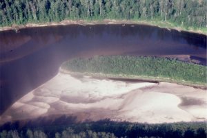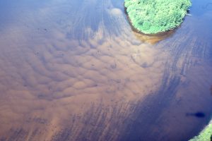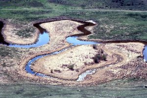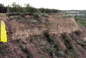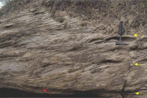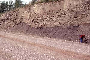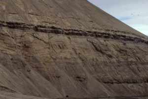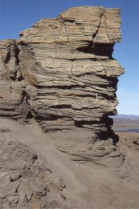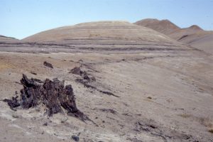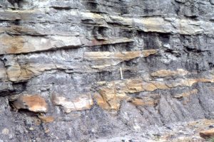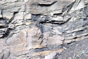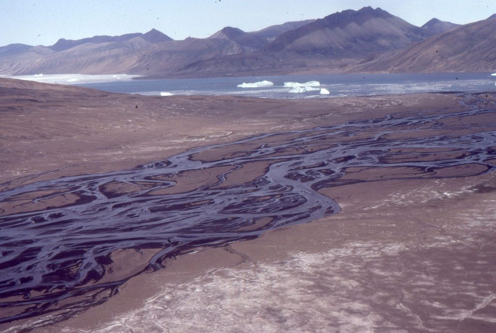
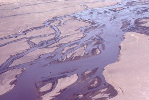
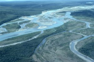
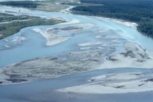
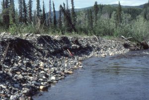
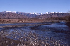
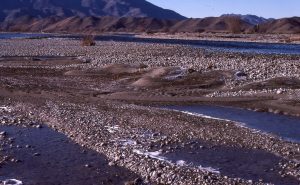
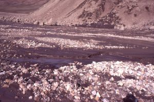
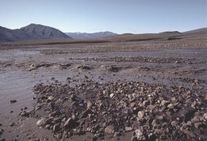
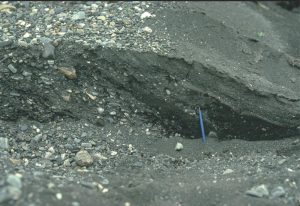
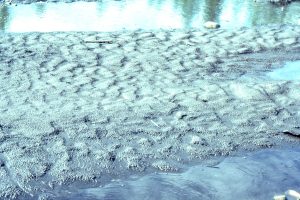
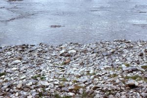
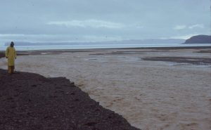
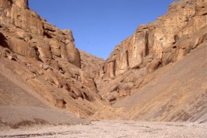
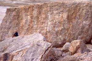
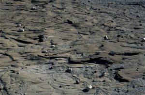
This collection of images from various modern and ancient fluvial deposits, includes meandering (high sinuosity) and braided (low sinuosity) rivers. Where possible I have paired modern analogues with ancient examples.
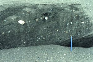
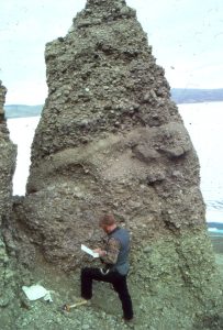
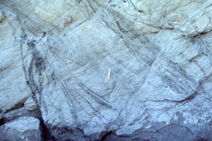
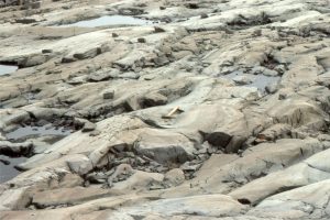
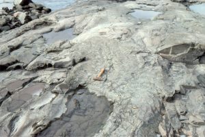
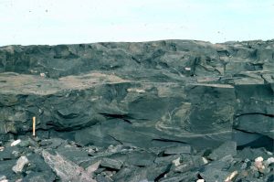
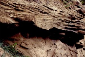
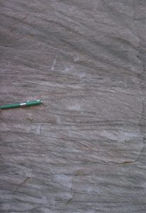
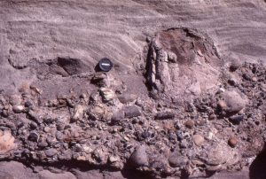
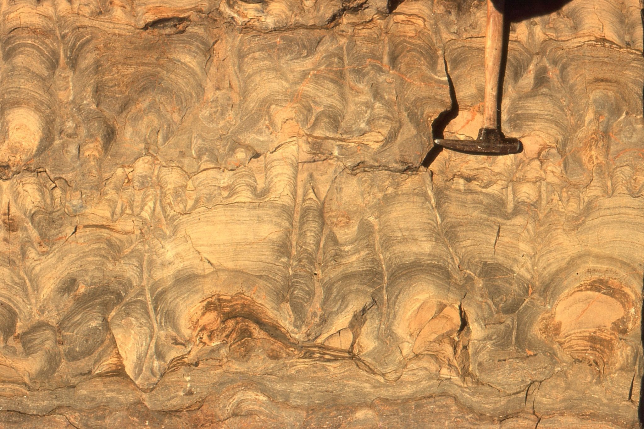
Exhumed trough of a trough crossbed – the trough axis approximately in line with the hammer; paleoflow to lower left. The surface also contains small lunate ripples. Paleoproterozoic Loaf Fm, Belcher Islands, Hudson Bay.