Image credit: NASA Earth Observatory, image by Jesse Allen. Landsat data from the U.S. Geological Survey.
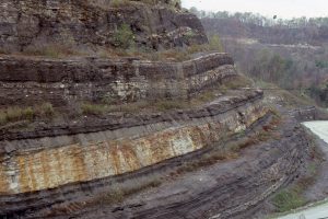
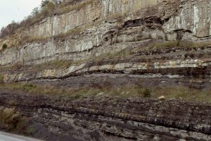
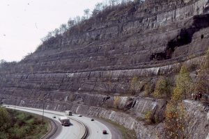
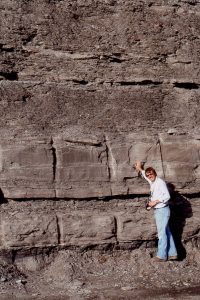
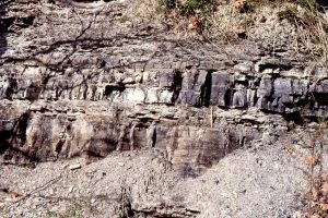
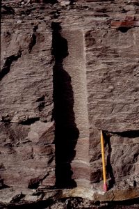
Deltas come (and go) in all shapes and sizes. They form where a trunk river discharges into a largish body of water – mostly shallow seas, but modern and ancient deltas also form in large lakes. Early delta facies models (1960s-70s in particular) were based primarily on the Mississippi birds-foot delta. As time, and alternative models were developed, it became apparent that the classic river-dominated birds-foot geometry was part of a much larger spectrum of deltas, including those that are tide-dominated and wave-dominated. The resulting facies tend to be quite different in each of the categories, particularly at the seaward margin of delta accumulations. For example, wave-dominated deltas tend to be higher energy environments at the point where river-derived sediment is dispersed at the seaward margin.
The term ‘delta’ is also a kind of catchall – there are many different kinds of sedimentary facies in deltas, ranging from strictly fluvial to strictly marine. So, for example where fluvial deposits are clearly associated with a delta, they are included in the latter category.
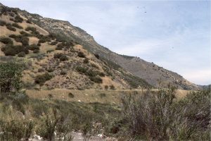
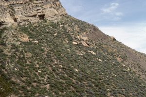
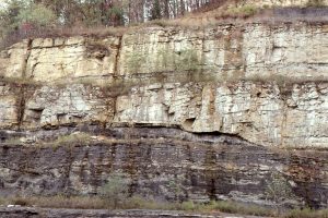
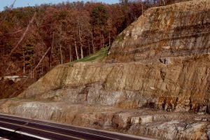
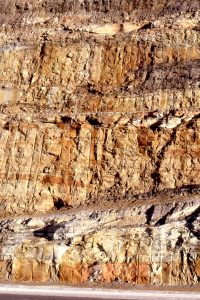
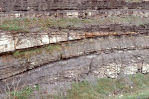
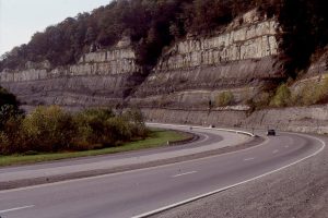
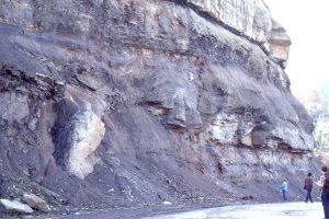
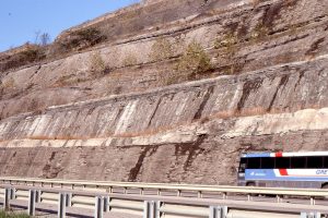
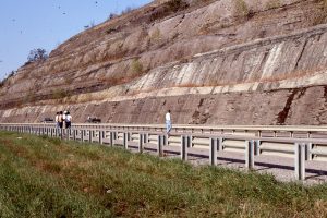
The examples here include the classic Carboniferous, river-dominated deltas from Kentucky; and Late Cretaceous – Paleogene wave and river-dominated types from the Canadian Arctic . I have a few examples from the lacustrine deltas in Ridge Basin, although the field trip to that wrench basin focused on sediment gravity flow deposits (a great AAPG 10-day trip to several ‘turbidite’ basins in California, led by Tor Nilsen, 1988).
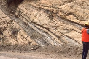
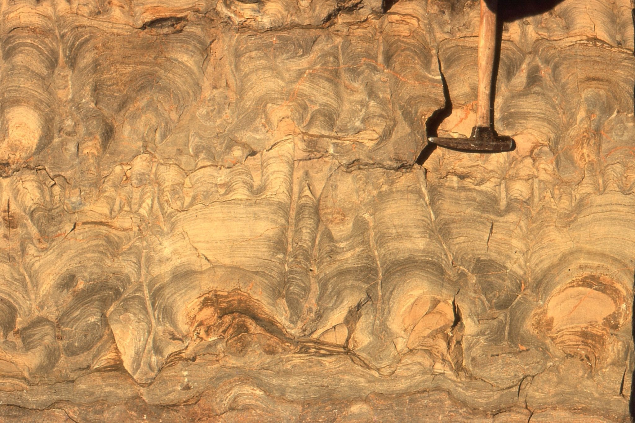
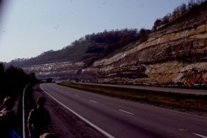
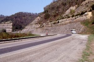
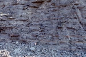
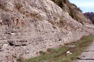
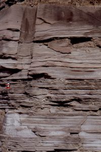
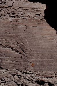
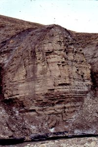
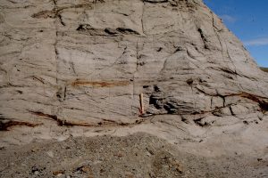
Carboniferous deltas, Kentucky
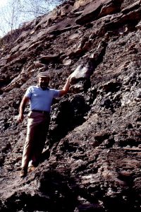
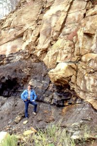
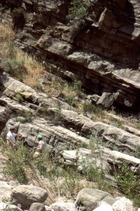
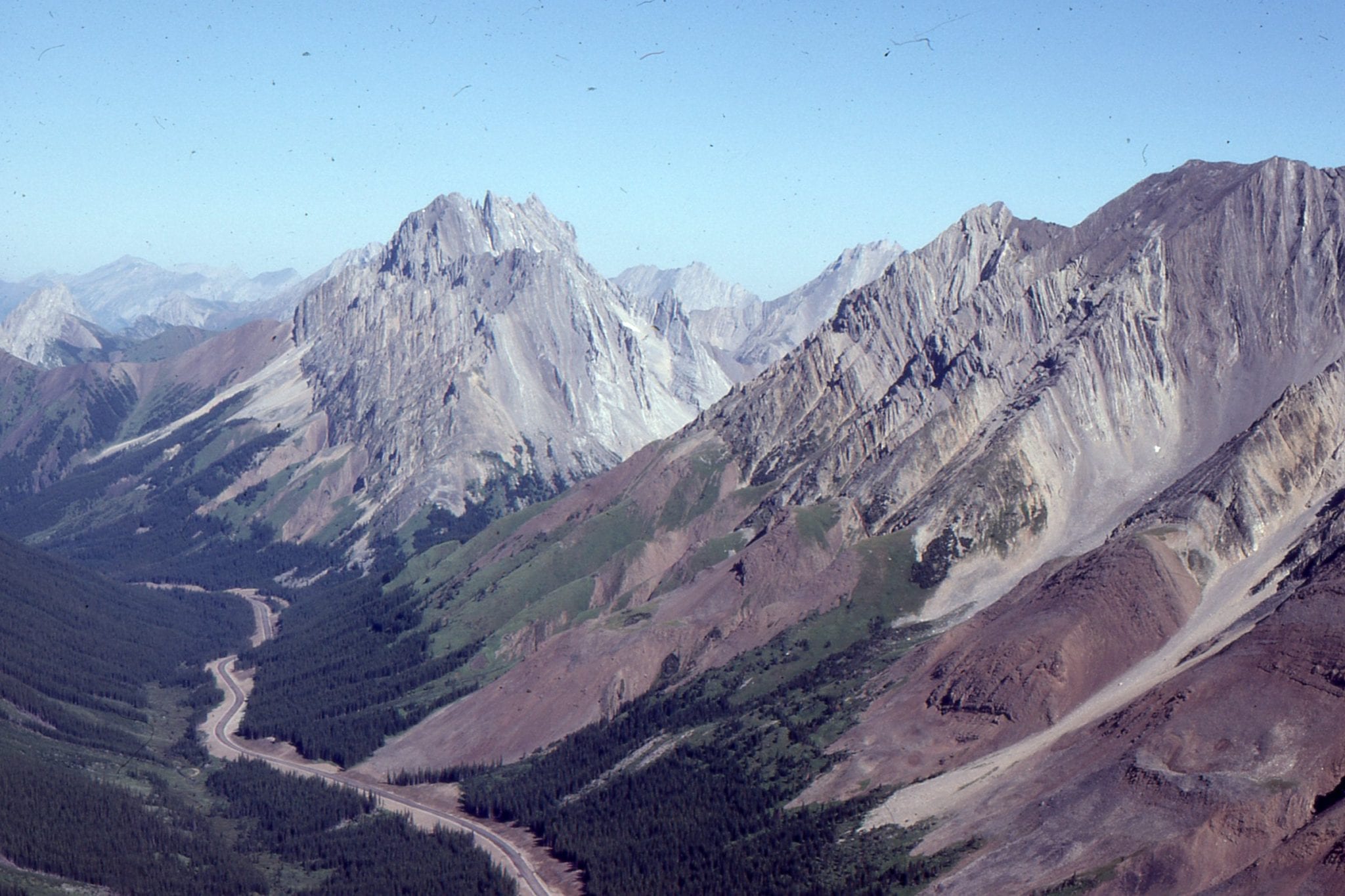
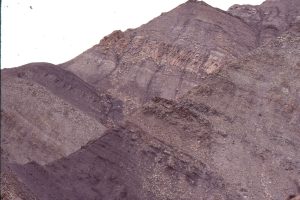
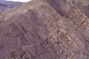
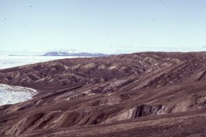
Eureka Sound Group, Axel Heiberg Island
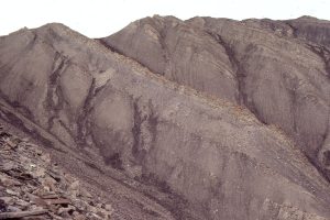
Ridge Basin, California