The class field trip is underway. Teacher hands out the rap-around, virtual imaging glasses, and you are transported to a green horizon. In the background, there is an annoying kind of buzz, as teacher relates the topic of enquiry, asks questions, provides comments. Fellow students may even be projected into your virtual reality, their essence reduced to pixels. There’s a resounding crash – one student, suffering from vertigo, has fallen off their chair. Another has just thrown up from motion sickness. All in a day’s field study. Off come the glasses. The green horizon vanishes. All except one of your classmates are still in their chairs, surrounded by the same four classroom walls. What was learned?
Real field schools and class trips, i.e. those outside the classroom, are the bane of educational institution administrators; even teachers find them disruptive. There are health, safety and liability considerations, budget restrictions and teaching loads, and perhaps worst of all, field trips wreak havoc with those finely tuned curriculum timetables. Field trips are an administrative pain in the neck. And yet they are utterly indispensable to science and the humanities, whether applied to learners or hardened practitioners.
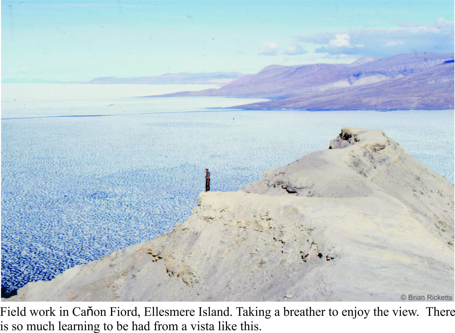
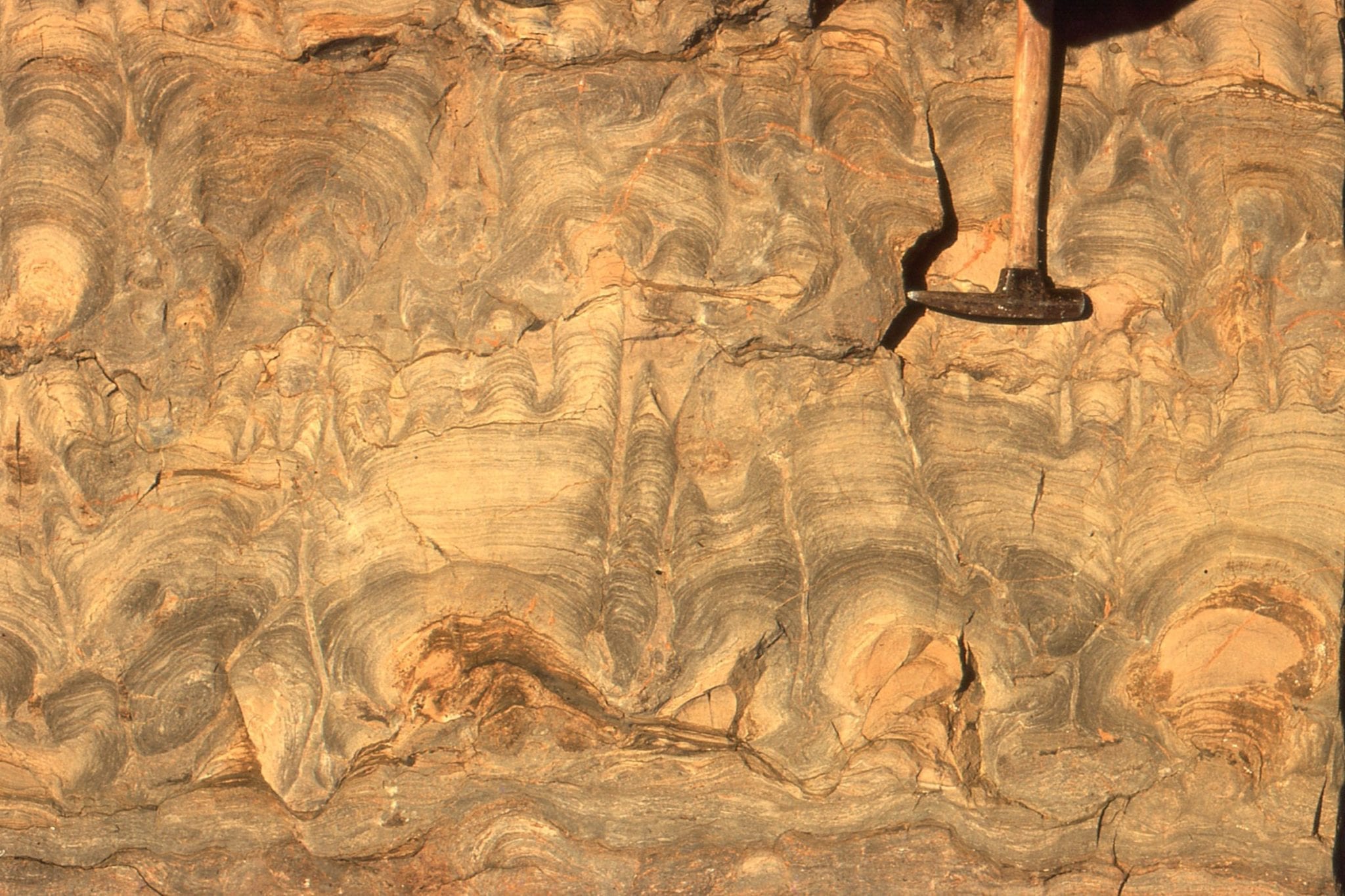
The ‘field’ can be almost anywhere. Geologists traipse the countryside in search of ancient worlds; they could just as easily explore from a drilling rig or the International Space Station. Soil biologists dig dirt. Botanists crawl through the undergrowth. Can you imagine learning chemistry and never experiencing a laboratory, or geophysics and never having the chance to trudge along a gravity transect? Field work is a grand learning experiment that brings together observation and data collection, creative thinking and language, conjecture and hypothesis. In the field all our senses are assaulted; they engage our brain in three-dimensional visualization. The sights, smells, sounds and feel of the earth allow us to extend our understanding beyond the immediately visible. Enjoying the vista from a ridge top, while catching one’s breath, contributes to the learning process. My own geological excursions to Ellesmere Island (Canadian Arctic) and Hudson Bay, the Scottish Hebrides and Hutton’s Unconformity on Arran (Scotland), Atacama volcanoes or New Zealand wilderness, the Pannonian of Hungary or outback of Utah provided hard data and a myriad tangible and intangible images, the kind of learning that no other experience could provide. In the field, our learning becomes both sensual and cerebral; we can visualize in our mind’s eye the things we cannot sense directly, beneath, within and beyond the earth. And once we have this learned skill we can project our understanding to worlds past and future; dimension number four. In the field we can begin to get a feel for deep time.
Field work provides critical learning in the real world, learning that is conscious and retrievable, and learning that is not always explicable, even subliminal. Technology does not replace this kind of learning, but it can enhance it. We can go into the field with as little as a pencil and notebook. Or we can take with us instruments that provide measures of earth properties or real-time satellite imagery. Exploring the deep oceans and our solar system require special equipment. The Mars rovers are a projection of our own field activities (albeit quite expensive) – they observe, take samples, analyse, and transmit data.
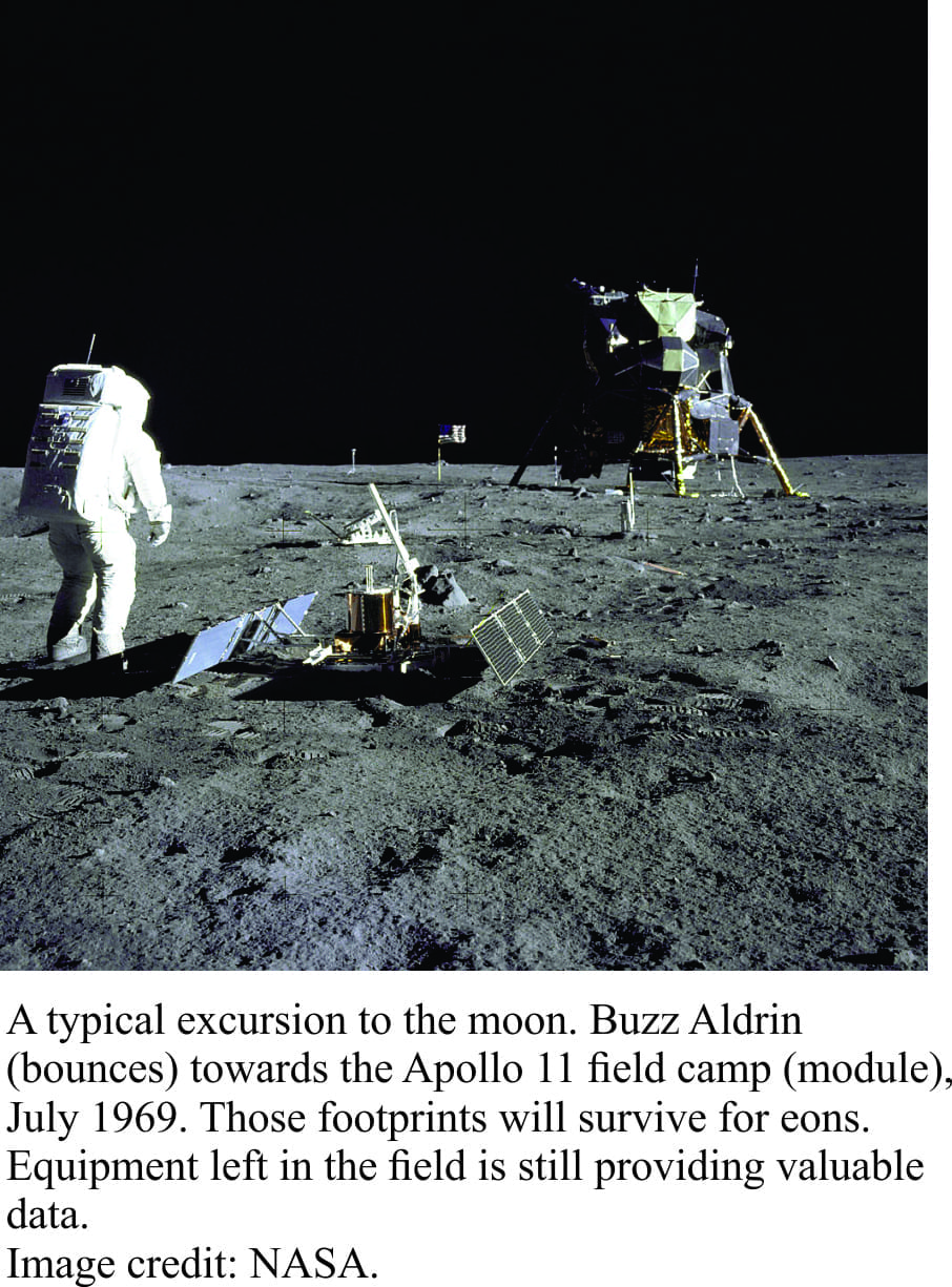
Whether our feet are firmly planted on terra firma or leaving footprints on the Moon, our senses, intellect and language provide us with learning pathways that are necessary to understand the complexity of the universe. Bowing to administrative objections deprives all students of the ultimate learning experience. Field excursions, the kind that go beyond the classroom or office, are utterly indispensable.
Here are links to some of my field excursions:
Northern British Columbia, Yukon, Hudson Bay, Precambrian, northernmost New Zealand