Geological-logo
Geological-logo

Atlas of beach, lagoon, bar, estuary, tidal flats

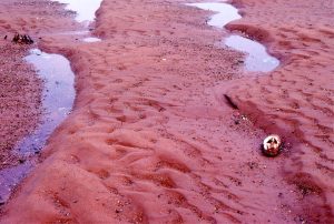
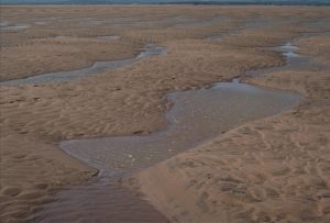
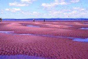
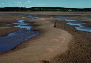
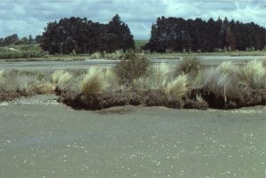
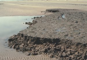
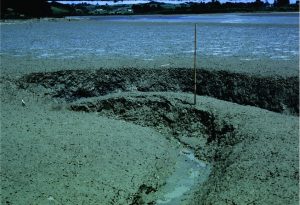
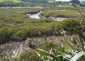
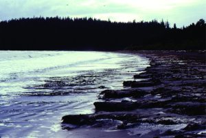
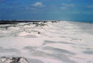
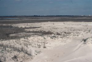
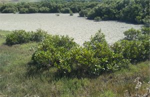
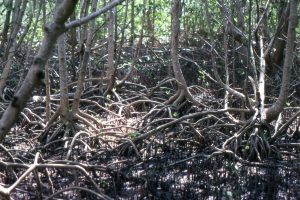
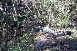
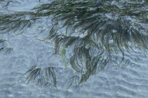
Shallow marine – estuarine – tidal flat – lagoon and coastal dunes

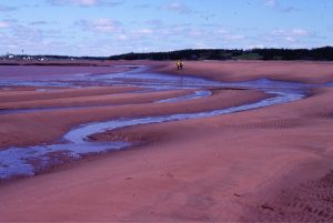
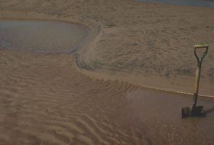
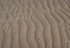
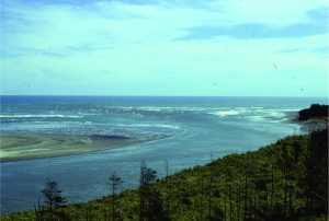
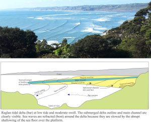
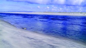
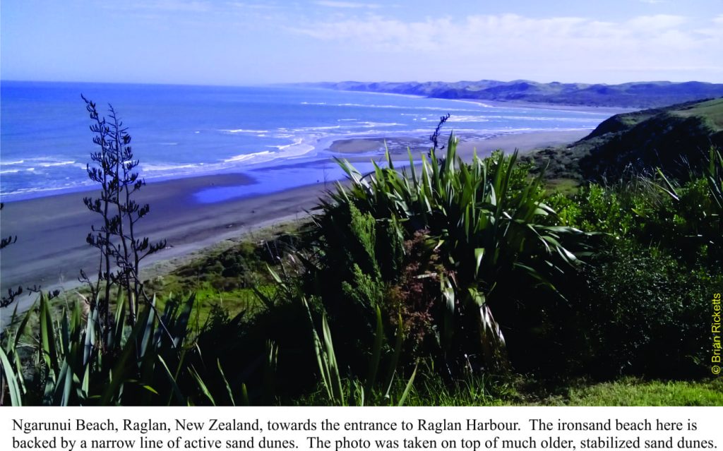
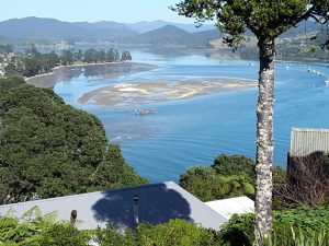
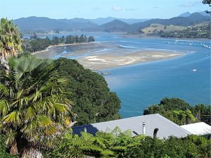
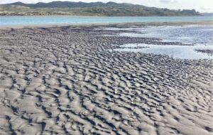
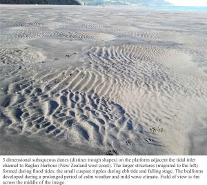
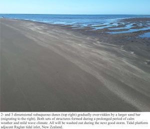
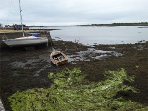
This collection of images spans the shallowest marine environments including beach, lagoon-bay with all the associated environments such as sand-spits and barrier-bars, tidal flatsestuaries and coastal dunes.  Where possible I have paired modern analogues with ancient examples.

The Atlas, as are all blogs, is a publication. If you use the images, please acknowledge their source (it is the polite, and professional thing to do).

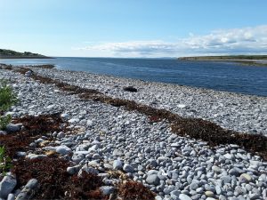
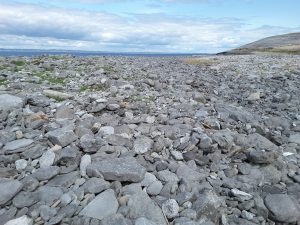
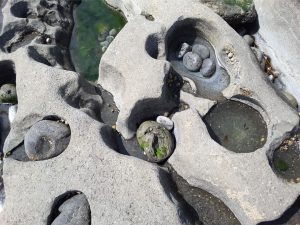
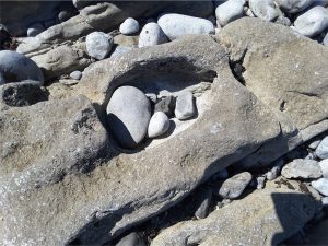
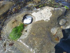
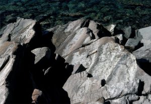
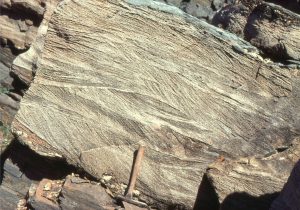
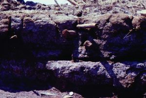
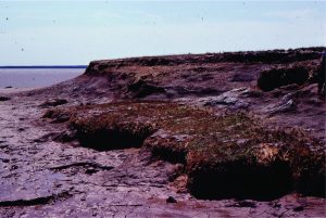
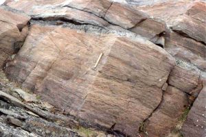
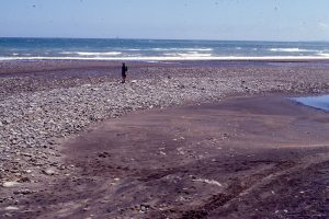
Three images of potholes in Burren Limestone, Flaggy Shore, County Clare. Pebbles and cobbles become trapped in bedrock depressions that are gradually enlarged and deepened by the abrasive action of the clast moved and jostled by waves.

The ebb tidal delta outboard of Raglan Harbour, N.Z. and explanatory diagram

Leave a Comment

Your email address will not be published. Required fields are marked *

Archives
Categories
dip and strike compass
Measuring dip and strike
sandstone classification header
Classification of sandstones
Calcite cemented subarkose, Proterozoic Altyn Fm. southern Alberta
Sandstones in thin section
poles to bedding great circles
Stereographic projection – poles to planes
froude-reynolds-antidunes-header-768x439-1
Fluid flow: Froude and Reynolds numbers
Stokes Law for particle settling in a schematic context of other fluid flow functions
Fluid flow: Stokes Law and particle settling
sedimentary-basins-distribution-1-768x711
Classification of sedimentary basins
Model are representational descriptions are written in different languages - diagrammatic, descriptive, mathematical, and conceptual. They commonly contain variables and dimensionless quantities that permit quantitative analysis of the physical systems the models represent.
Geological models
Recent Posts
ironsands raglan overview
Atlas of beach, lagoon, bar, estuary, tidal flats
unconformity Lochranza atlas
Atlas of Unconformities
burren black head 2
The Burrens, County Clare, Ireland
Mary_Emilie_Holmes_ca_1893
Mary Emilie Holmes, 1850 – 1906
Cam Potikohua lst thin section
Atlas of cool-water carbonates
beach pebbles
Atlas of sedimentary textures and fabrics
Typical Soil profile
Atlas of soils and weathering
Palancar cowfish
Atlas of modern coral reefs
Death Valley from Dante's View, looking east towards the Panamint Range (a block-faulted and uplifted metamorphic core complex). Salt flats in mid-view (mostly halite, some gypsum and borax), and a nice succession of (arid) alluvial fans that interfinger with the saline facies.  This is one of the classic Basin and Range couplings between fault blocks and intervening basin.
Atlas of alluvial fans
Close up of Jurassic Navajo Sandstone dune crossbeds with tangential toe-sets, Zion National Park, Utah. Image height is about 2m. Large sand dune complexes in a continental desert, about 180 million years ago.
Atlas of aeolian deposits
Scroll to Top